
World Live
Quakes, ISS, aurora, live cams
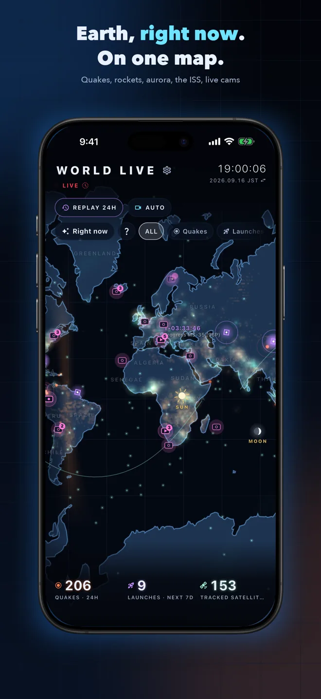
Earthquakes, storms, aurora, rocket launches, the ISS and live cameras around the world, glowing on one dark map. See what's happening on Earth right now.


In-app purchases
About this app
Earth, right now, on one map.
World Live lays the latest data published by public agencies and official sources over a dark world map as points of light. Just watching it tells you where things are happening on the planet.
What it shows
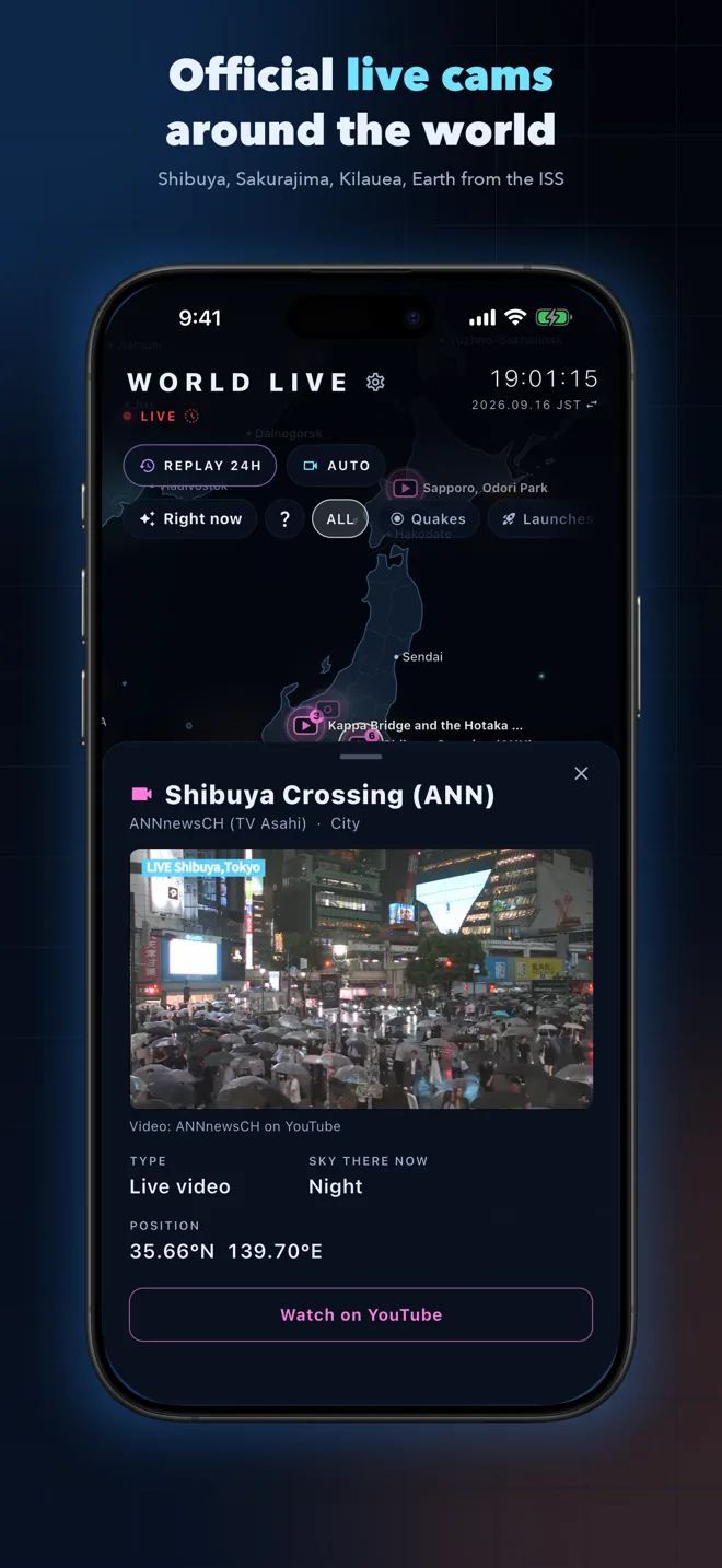
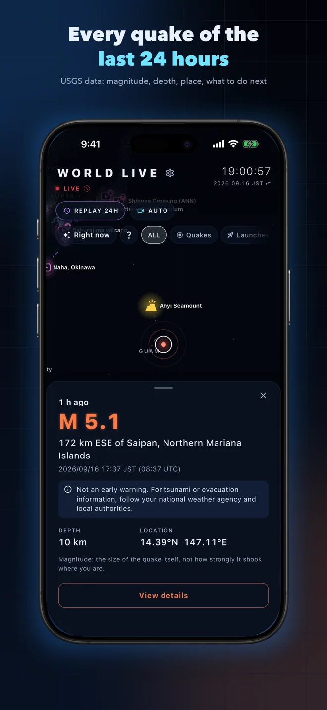
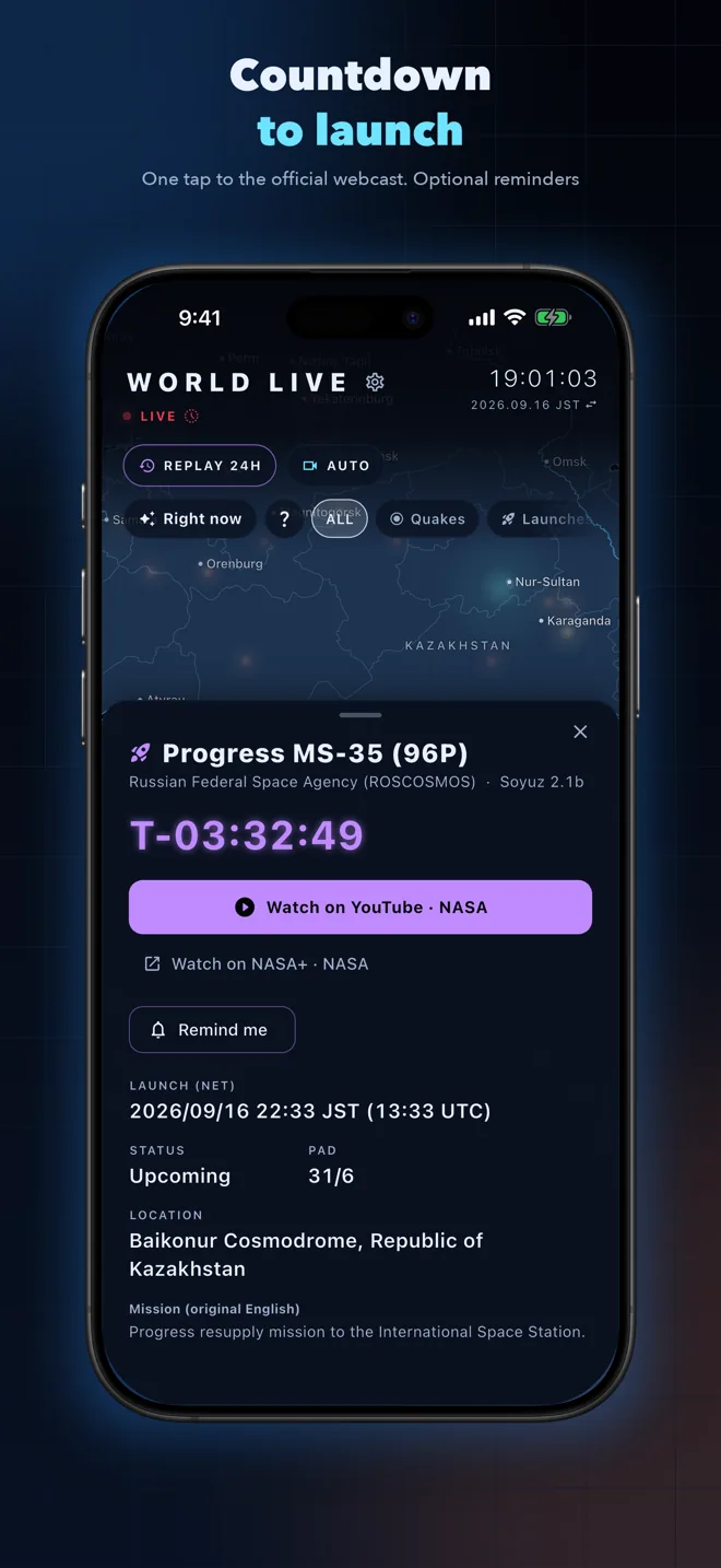
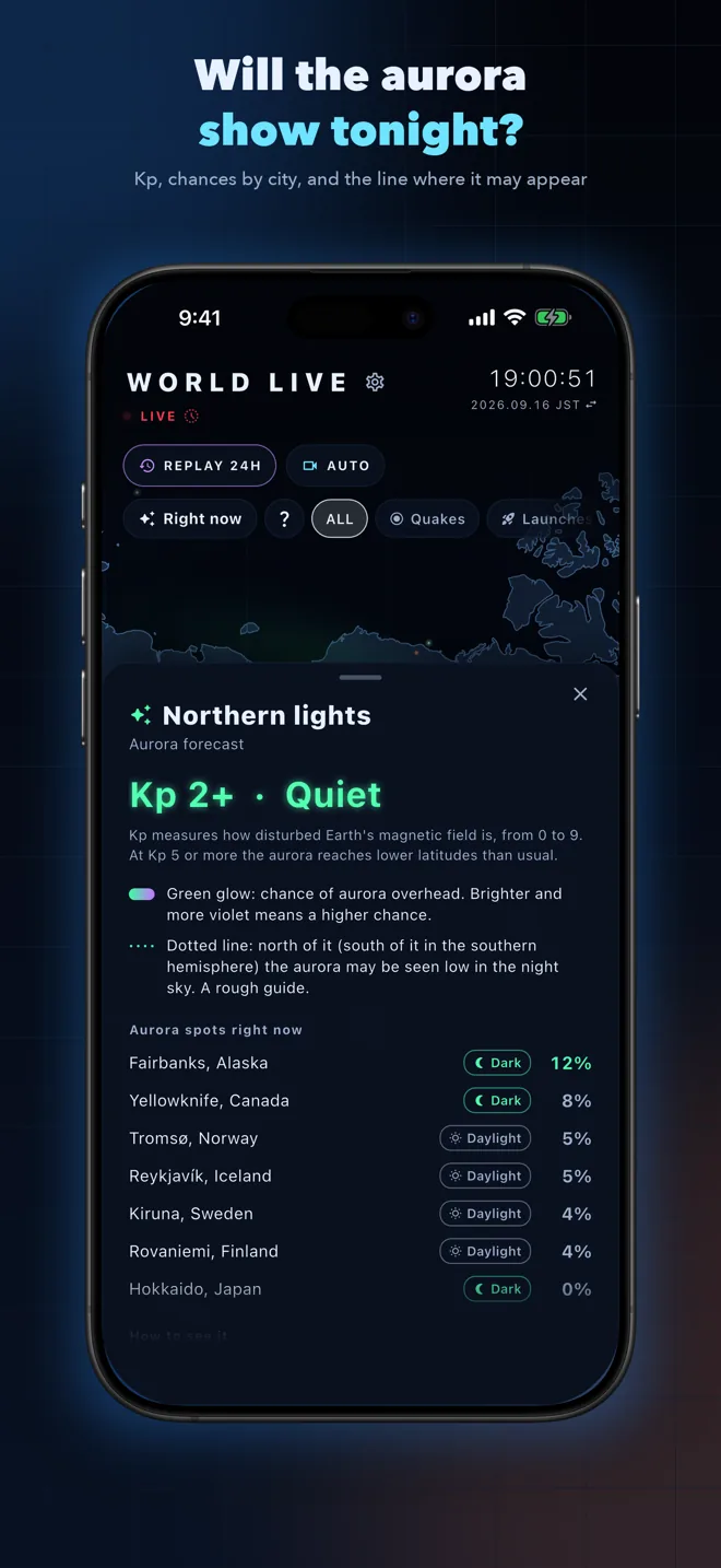
Earthquakes and tsunami bulletins from the last 24 hours, hurricanes and tropical storms, volcanoes on raised alert, the aurora forecast, wildfires seen by satellites, where the world's news is, rocket launches in the next 7 days, the ISS and other satellites, the day/night line and the Moon. Official live cameras, too: Shibuya Crossing, Sakurajima, Earth from the ISS and more.
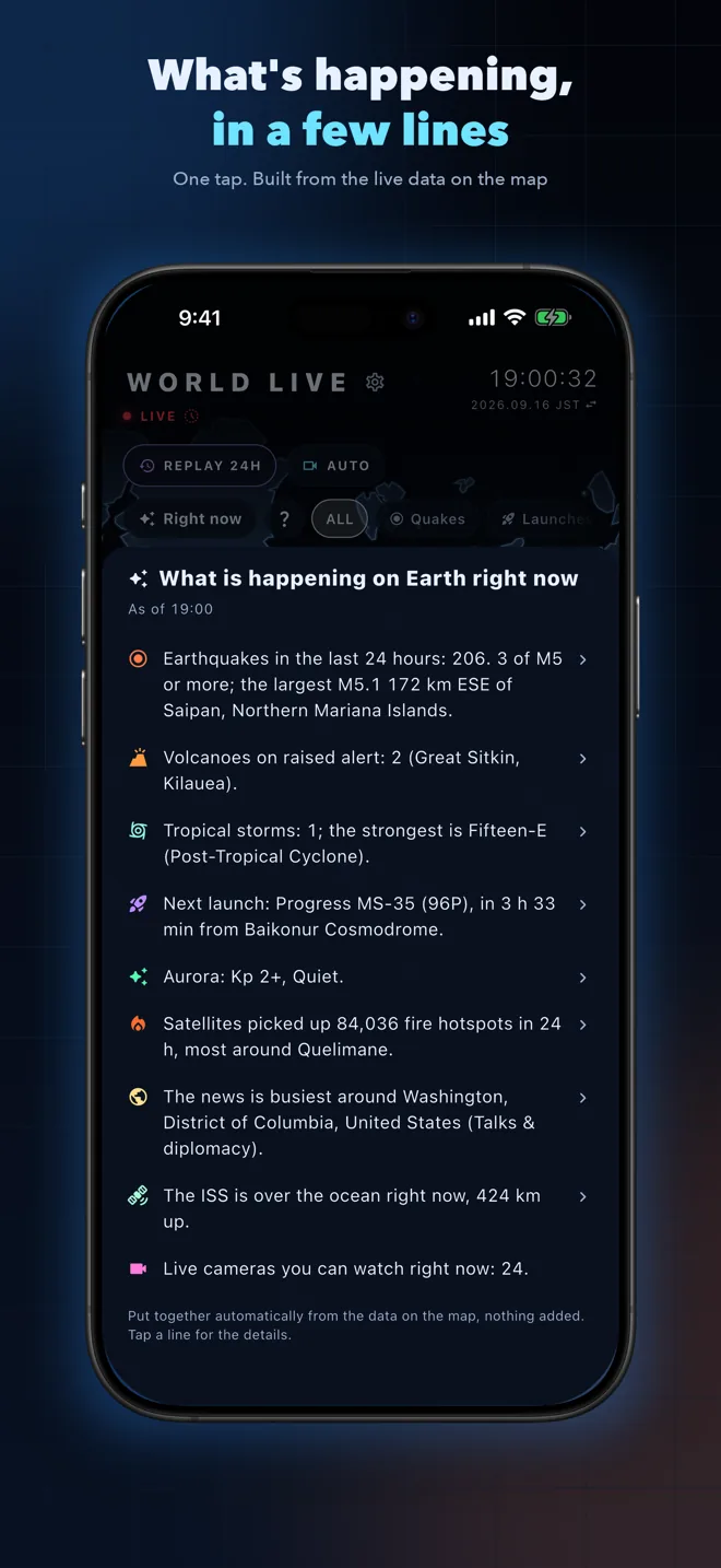
Right Now
One tap sums up what is happening in a few lines. Every line is built from the data on the map and opens its details.
Auto tour and time machine
Tap AUTO and the camera flies from one highlight to the next: a large earthquake, a rocket about to lift off, the ISS followed along its orbit. Tap LIVE to replay the same day one, five or ten years ago.
Tap for details, share as a picture
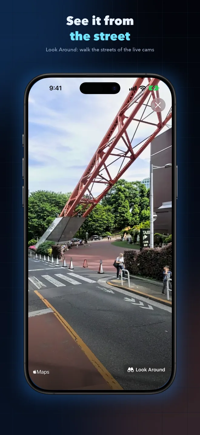
Tap a light for its magnitude, time and place, with links to articles and official webcasts. Tap an empty spot for that place's day or night, sunrise and sunset, and aurora chances. Turn an earthquake or launch card into a picture with the map and share it.
Notifications and widget
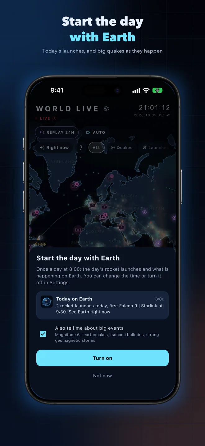
Choose what you want: Today on Earth each morning, alerts for M6+ quakes and strong geomagnetic storms, and reminders before a launch. Put the next launch countdown or the latest big quake on your home screen.
Nothing in this app is an official warning or evacuation notice. For decisions about your safety, follow your local authorities.
Get World Live


